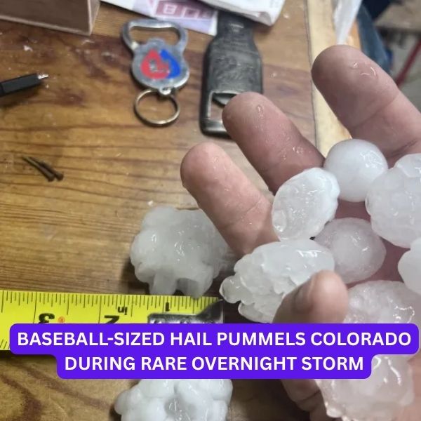
DENVER (KDVR) — Colorado woke up to chaos Tuesday after a rare and powerful overnight storm unleashed baseball-sized hail, damaging homes, vehicles, and property across several communities.
Rare Overnight Storm Brings Massive Hail
This Article Includes
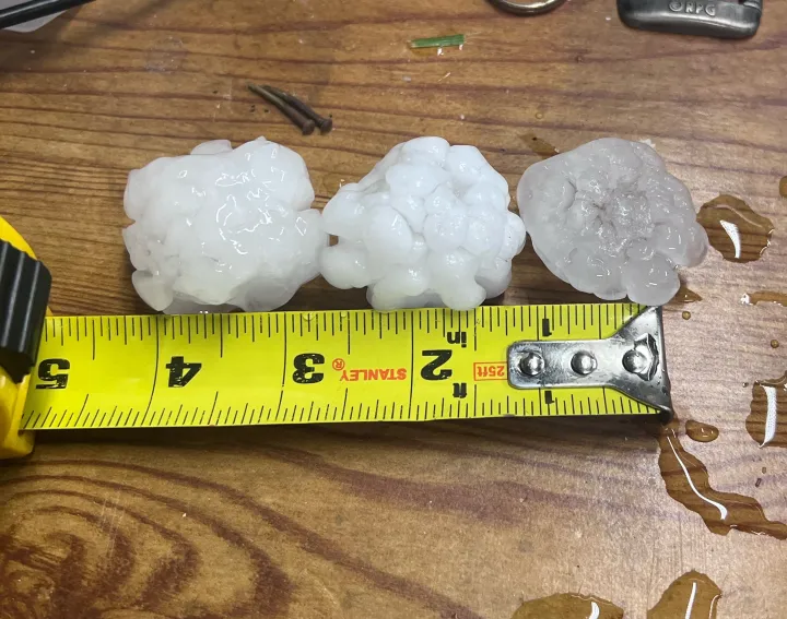
The National Weather Service described the storm as “rare,” reporting hail up to 2.75 inches in diameter—about the size of a baseball—across northern Colorado. For comparison, tennis ball-sized hail (2.5 inches) was also observed earlier in the night.

📍 The largest hail so far? Milliken, where the 2.75-inch hailstones hit hardest.
Striking Images From Around Colorado
Residents captured unbelievable scenes of massive hail blanketing neighborhoods:
-
Milliken: Multiple shots show hail stacked beside quarters, baseballs, and even Apple Watches for scale.
-
Thornton: Several photos show large hailstones covering yards and damaging vehicles.
-
Johnstown & Wellington: Reports came in of hail ranging from 1.5 to 2.5 inches.
 Areas Hit the Hardest
Here’s where the largest hail was recorded early Tuesday morning:
| Location | County | Size (in) |
|---|---|---|
| Milliken | Weld | 2.75 |
| 1 SSE Wellington | Larimer | 2.5 |
| 2 NE Johnstown | Weld | 2.0 |
| 1 S Wellington | Larimer | 2.0 |
| 1 SW Eaton | Weld | 1.75 |
| 5 NE Ponderosa Park | Elbert | 1.5 |
| 1 W Barr Lake | Adams | 1.5 |
| Eaton | Weld | 1.5 |
| 1 NE Milliken | Weld | 1.5 |
| 2 SSE Wellington | Larimer | 1.5 |
More Storms on the Way
Tuesday has been designated a Pinpoint Weather Alert Day due to the threat of:
-
More hail in the afternoon
-
Gusty winds
-
Possible isolated tornadoes on the Eastern Plains
-
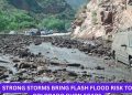
Localized flooding from heavy downpours
Stay Weather-Ready, Colorado
With more storms expected throughout the day, residents are urged to stay updated:
-
Interactive Weather Radar
-
Colorado Weather Alerts
-
Closings & Delays
-
FOX31 News App
Hail season is in full swing—and after this morning’s wild wake-up call, Coloradans should brace for even more stormy surprises ahead.


